
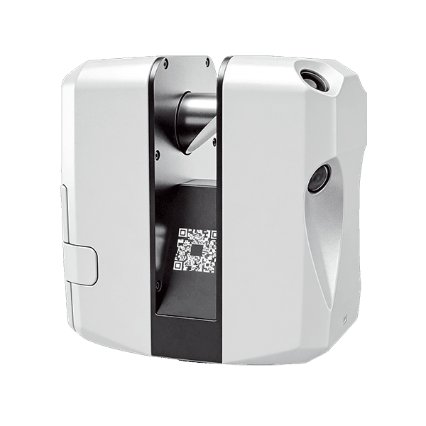
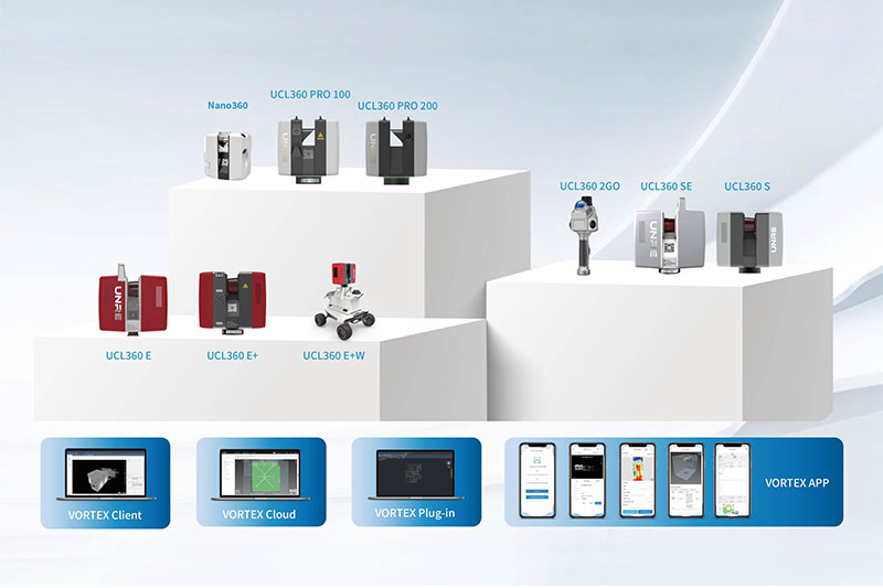
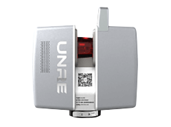
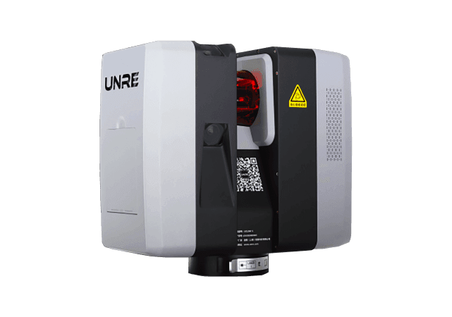
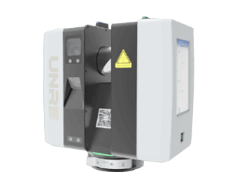
The original UCL360 series 3D laser scanner, along with professional BIM layout, 3D scanning, and technical training services, provides developers, general contractors, and decoration companies with a one-stop digital solution.
Core Business
Three core businesses covering the entire digital building chain
It provides a one-stop closed loop from "buying equipment" to "knowing how to use it and implement it," covering the entire technical chain from data collection and intelligent processing to practical application.
Core technology system
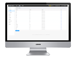
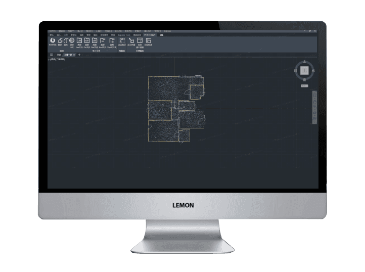
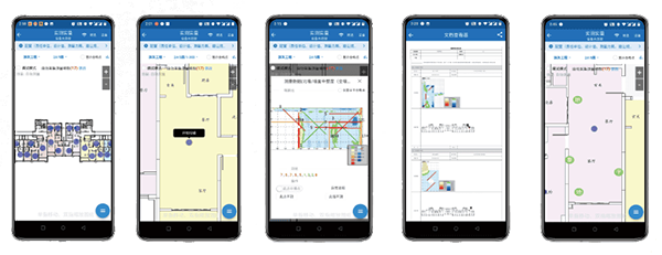
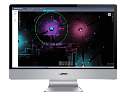
From data collection to BIM implementation, an integrated technology closed loop
The three-layer technical architecture is interconnected, allowing each scan to be transformed into usable engineering results.
Industry solutions
6 major industry solutions
6 major industry solutions
End-to-end solutions for different business scenarios, integrating software and hardware, ready to use out of the box.
Case Studies
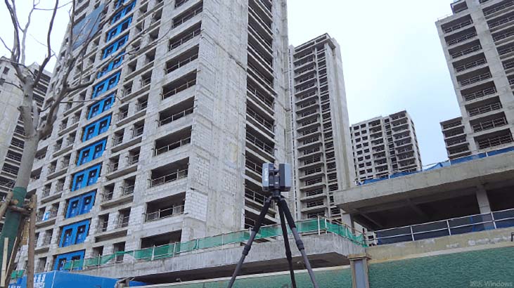
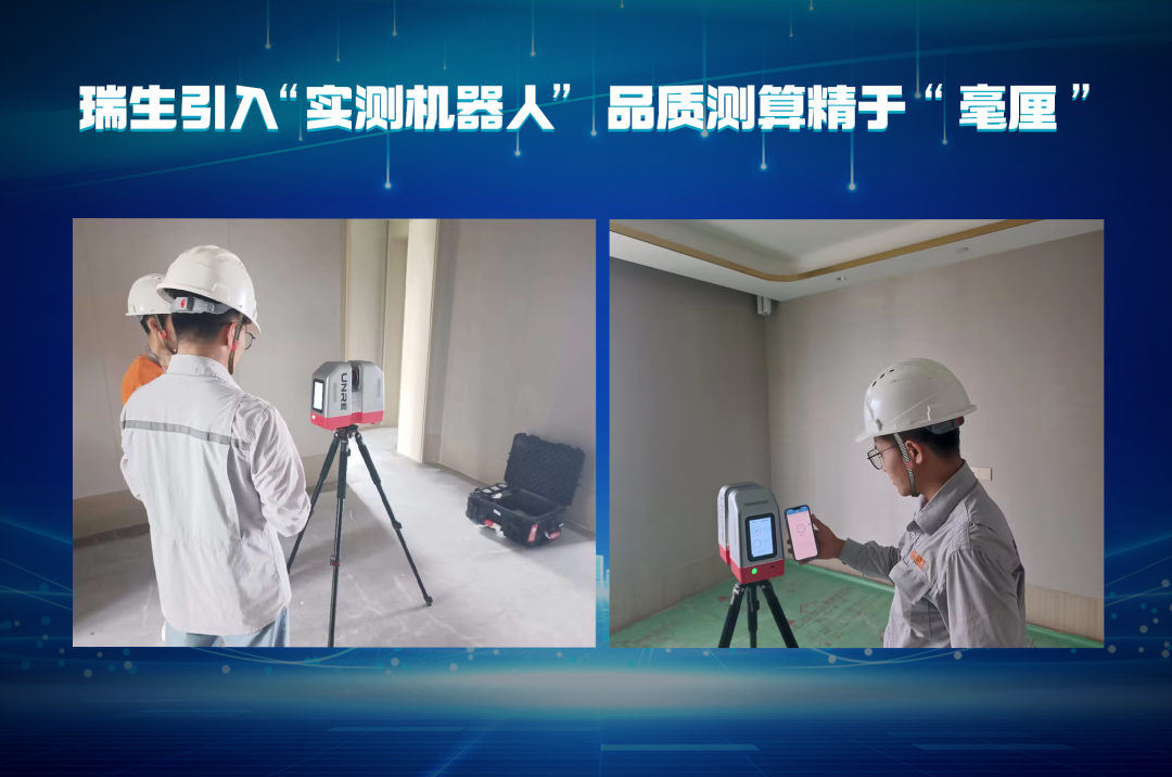

Real projects validate value
Stand shoulder to shoulder with industry leaders and let data and results speak for themselves.
Service Process
From consultation to implementation, a four-step closed loop
The standardized service process has clearly defined deliverables and responsible persons at each step.
Brand collaboration















































































Partnering with industry leaders to create a digital and intelligent future
News
Latest News
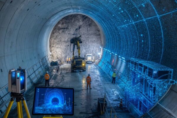
Digital Tunnel and Infrastructure Monitoring: How 3D Scanning Improves Engineering Safety and Efficiency
The safe operation of infrastructure such as tunnels, bridges, subways, and highways is crucial to public interest. Traditional deformation monitoring methods often rely on manual inspections and single-point measurements, making it difficult to comprehensively grasp structural change trends. Three-dimensional laser scanning technology provides an efficient and accurate solution for digital tunnel and infrastructure monitoring. Limitations of Traditional Monitoring Methods: Traditional infrastructure monitoring typically uses equipment such as total stations and levels for single-point or cross-sectional measurements. This method has the following limitations: limited measurement points, making it difficult to comprehensively cover the structural surface; low efficiency of manual measurements, unable to achieve high-frequency monitoring...
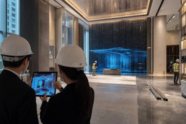
Digitalization Trends in Hong Kong's Construction Industry in 2026: Opportunities and Challenges of 3D Scanning and BIM Lofting
In 2026, Hong Kong's construction industry is at a critical juncture in its digital transformation. Faced with challenges such as labor shortages, tight project schedules, and rising quality requirements, digital technologies such as 3D laser scanning, BIM (Building Information Modeling), and MR (Mixed Reality) are becoming key drivers of industry change. This article will analyze the main digital trends, opportunities, and challenges facing Hong Kong's construction industry in 2026. Trend 1: 3D Laser Scanning from "Optional" to "Standard" In the past, 3D laser scanning was mainly used in large or complex projects. Now, with declining equipment costs and lower operational barriers, more and more...
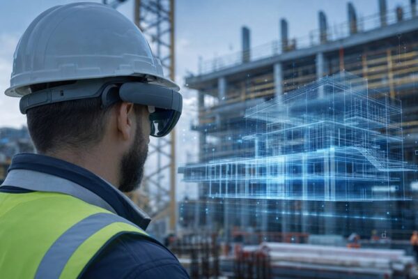
Mixed Reality (MR) Construction Solutions: How HoloLens 2 and Trimble XR10 are Revolutionizing On-Site Collaboration
On construction sites, the information gap between design drawings and actual work often leads to high communication costs and significant construction deviations. Mixed Reality (MR) technology overlays BIM models holographically onto the real scene, allowing on-site personnel to intuitively see the design intent. Anrui (Hong Kong) Information Technology Co., Ltd. has launched an MR construction solution based on HoloLens 2 and Trimble XR10, revolutionizing on-site collaboration. The core value of MR is: 1. Bringing BIM models to the site...
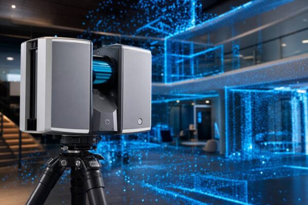
UCL360 PRO 3D Laser Scanner: A High-Precision Choice for Large Buildings and Infrastructure
For large-scale building, park, bridge, and infrastructure projects, the ranging accuracy, environmental adaptability, and range of measurement equipment are crucial. UNRE (Hong Kong) Information Technology Co., Ltd. has launched the UCL360 PRO 3D laser scanner, designed specifically for high-precision scanning needs at medium to long distances, making it an ideal choice for digital documentation and deformation monitoring of large projects. The core advantages of the UCL360 PRO include: 1. Ultra-long ranging capability: The UCL360 PRO offers 100-meter and 200-meter models, easily covering large buildings, parks,...
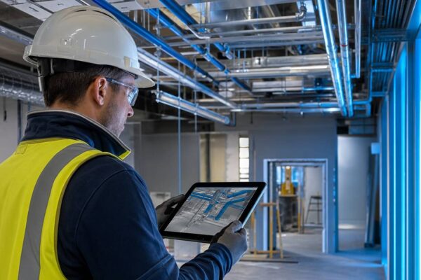
Five-star hotel interior design case: BIM layout and reverse modeling reduce 30% rework rate
A five-star hotel in Hong Kong faced numerous measurement challenges during its renovation and upgrade process, including irregularly shaped ceilings, curved walls, and custom-made furniture. Traditional measurement methods struggled to quickly and accurately obtain the true dimensions of complex curved surfaces, resulting in long processing cycles and high rework rates. UNRE (Hong Kong) Information Technology Co., Ltd. successfully reduced the rework rate by 30% using 3D laser scanning and BIM layout technology. Project Background and Challenges: The hotel renovation encompassed guest rooms, corridors, the lobby, and elevator halls, featuring complex spatial designs and a large amount of existing structure. The project team needed to quickly...
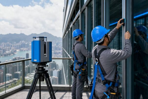
Hong Kong Commercial Complex Real-World Measurement Case: How 3D Scanning Shortens the Acceptance Cycle of 40%
In Hong Kong's bustling commercial building market, project acceptance efficiency directly impacts delivery schedules and costs. A commercial complex project in Hong Kong, with a total construction area of approximately 200,000 square meters, required a comprehensive on-site measurement and acceptance inspection after the interior decoration was completed. Anrui (Hong Kong) Information Technology Co., Ltd. successfully shortened the acceptance cycle by 40% using UCL360 series 3D laser scanning technology. The project presented challenges: the commercial complex encompassed a shopping mall, office buildings, and parking, with a complex spatial structure. Traditional manual measurement methods had the following problems: limited sampling points, making it difficult to comprehensively reflect...